GIS · Remote Sensing · Informatics
Award-winning geospatial professional
Empowering Smarter Decisions with Spatial Data
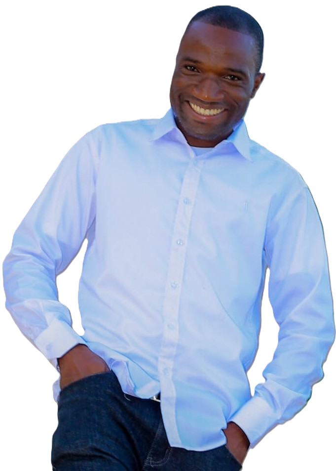
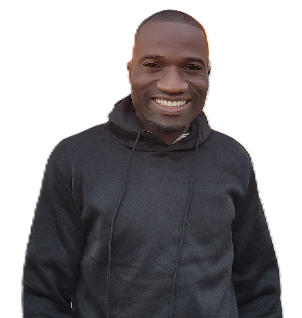
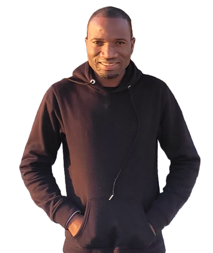
About Me
Geospatial Analyst & Biodiversity Informatician
I am a Malawian geospatial professional with more than 10 years of experience across GIS, remote sensing, cartography, and biodiversity informatics. I design spatial assessments that shape national biodiversity policy, support donor-funded conservation projects, and build geospatial capacity in government and academia, with a consistent focus on translating data into decisions.
Let's connect:
Featured Maps & StoryMaps
A selection of recent cartographic work and interactive spatial stories.
Featured Projects & Past Clients
Selected engagements with government, NGOs, and research institutions.