<- R for GIS & Remote Sensing Mentorship Program - 2026 Edition
Transform R into a Geospatial Powerhouse
Join my 3-week virtual mentorship program and learn how to use R for spatial data analysis, remote sensing, cartography, and geovisualization.
What You'll Learn
Foundations of R
- R & RStudio setup
- R basics & spatial data types
- Coordinate Reference Systems (CRS)
- Basic mapping with
ggplot2&sf
Vector Data Analysis
- Spatial joins, buffers, clipping
- Attribute queries & thematic mapping with
tmap
Raster & Remote Sensing
- Working with satellite imagery
- NDVI & other spectral indices
- Image classification & time series
- Google Earth Engine in R
Cartography & Visualization
- Map styling, layout & exporting
- Interactive maps with
leaflet
Capstone & Career
- Final project presentations
- Publishing maps & dashboards
- Career guidance in geospatial data science
🎯 Why Join?
Meet Your Mentor
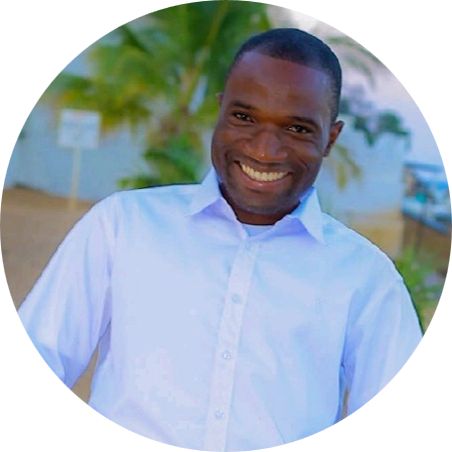 Dickson Mbeya
PhD Geo-Information Science student, MSc Biodiversity Informatics, BSc Earth Sciences.
Award-winning cartographer, Geospatial Educator & GIS Specialist
📝 Applications
❓ FAQs
Do I need prior R experience?
Basic familiarity helps, but we'll guide you through the essentials.
Will sessions be recorded?
Yes, all sessions will be available for replay.
Is there a certificate?
Yes, participants who complete the program will receive a certificate.
One-on-One Mentorship
Looking for personalized guidance? I offer one-on-one mentorship sessions tailored to your specific geospatial learning goals, career development, or research support needs.
Request a SessionEnrollment
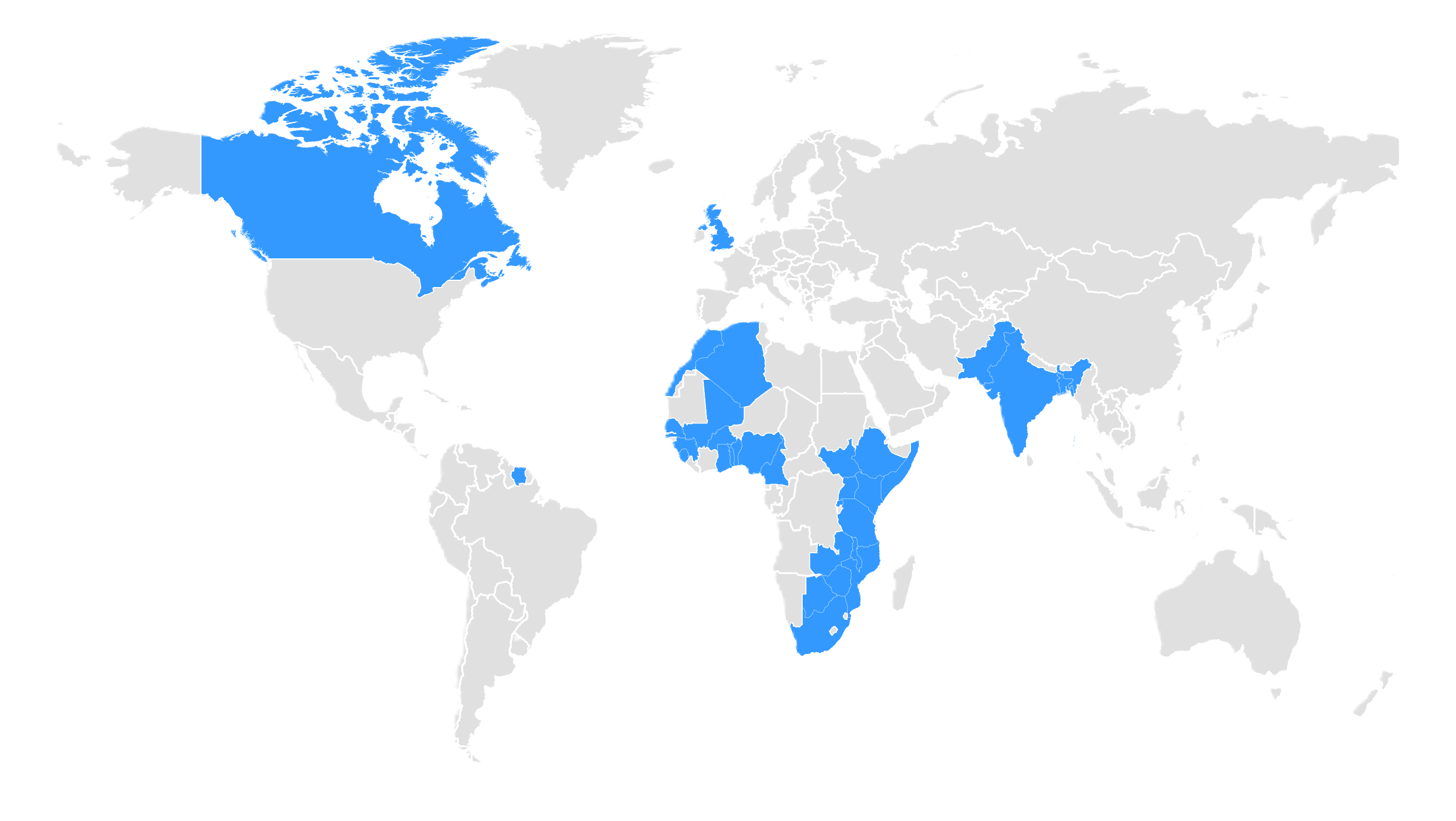
Our inaugural cohort brought together passionate learners from around the world, creating a diverse and collaborative learning community.
What Mentees Say
"I have gained alot and want to sincerly thank Dickson for starting from the foundation."
— John Oluwafemi Ayoola, Nigeria
"I have gained amazing knowledge which I will use in my professional life.Integrating cartography and remote sensing in RStudio was the most interesting thing I learned."
— Mohamed Samake, Togo
"I'm glad that I got to join this program.I was actually exposed to R before, but it was not for cartography and remote sensing. I want to really thank you Dickson for your time and for your effort."
— Elizabeth Minga, Zambia