About this blog
Welcome! This blog is dedicated to helping GIS professionals, students, researchers, and geospatial enthusiasts build practical skills in Geographic Information Systems (GIS), remote sensing, spatial analysis, and geospatial programming.
Whether you’re just getting started or looking to improve your workflows, you’ll find tips amd tricks, best practices, and real-world examples designed to make geospatial technologies easier to understand and apply.
About the author
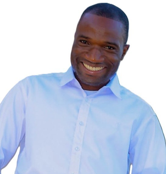
Dickson Mbeya is a Malawian geospatial professional with over eight years of experience in GIS, remote sensing, cartography, and biodiversity informatics. He leads spatial assessments for national biodiversity policy, manage donor-funded conservation projects, and build geospatial capacity across government and academia. His work spans ecosystem mapping, land-cover classification, accessibility analysis, and web-based spatial information systems with a consistent focus on translating technical outputs into policy-relevant evidence. Dickson is a founder of R for GIS and Remote Sensing Mentorship Program and the QGIS Mastery Mentorship Program.